GNSS for solar sites: positioning and workflow
Technology
4 min read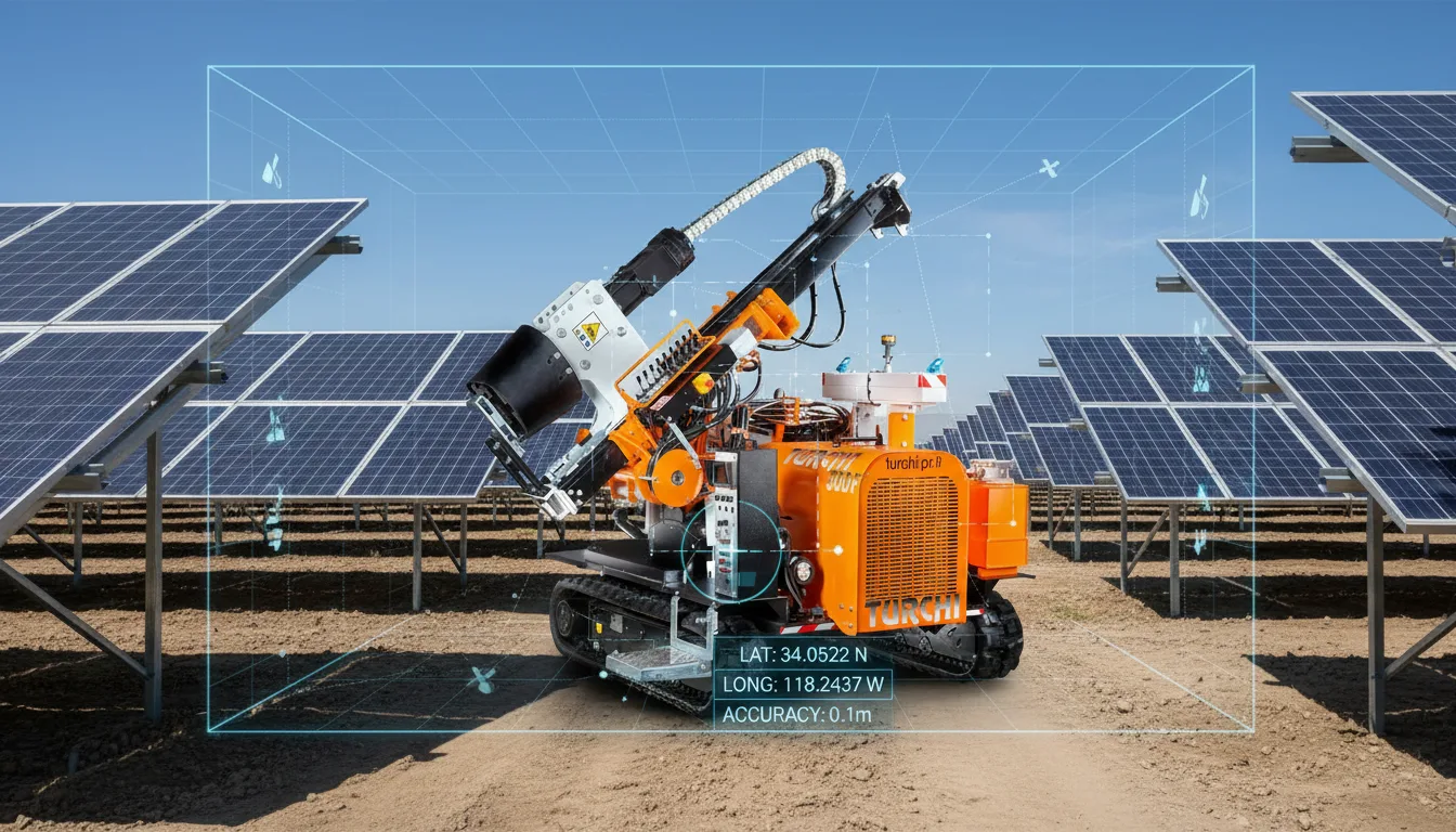
Key takeaways
- GNSS projects coordinates from design to field with centimetre precision.
- Reduces the need for dedicated surveying crews.
- Available as an option on the TURCHI 300F.
What is semi-automatic GPS
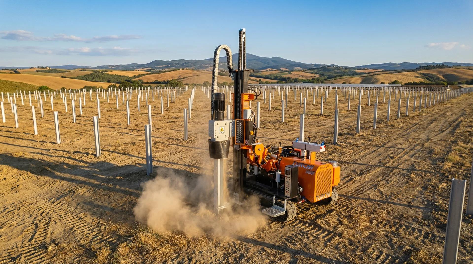
The GNSS positioning system available on the TURCHI 300F projects design coordinates directly on site, guiding the operator to the exact driving point with centimetre accuracy.
Operational advantages
Adopting GNSS on solar sites reduces the need for dedicated surveyors, speeds up positioning, and decreases error risk. The workflow goes from office design to field without intermediate steps.
Want to pick the right model for your site? Talk to us.